Trajcevski is Program Committee Co-Chair of ACM SIGSPATIAL GIS 2016
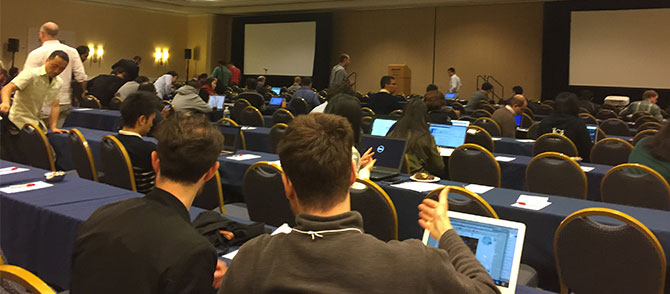
More than 330 researchers, practitioners and students participated in the 24th annual conference, held Oct. 31 through Nov. 3.
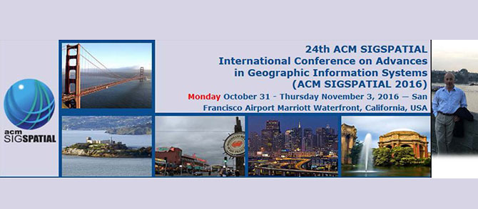
The ACM SIGSPATIAL International Conference on Advances in Geographic Information Systems 2016 (ACM SIGSPATIAL 2016) is the twenty-fourth event in a series of symposia and workshops that began in 1993 with the aim of bringing together researchers, developers, users, and practitioners in relation to novel systems based on geo-spatial data and knowledge, and fostering interdisciplinary discussions and research in all aspects of geographic information systems. The conference provides a forum for original research contributions covering all conceptual, design, and implementation aspects of geospatial data ranging from applications, user interfaces, and visualization to data storage and query processing and indexing. The summit is the premier annual event of the ACM Special Interest Group on Spatial Information (ACM SIGSPATIAL).
Prof. Goce Trajcevski was selected as Co-Chair of the Program Committee (PC) together with Dr. Siva Ravada (Oracle) and Prof. Matthias Renz (Georga Mason University). The PC had 108 regular members, experts from academia and industry; and 19 Meta-Reviewers (senior researchers/practitioners) overseeing the process of evaluating the submitted works.
In addition to the regular Research Papers, the conference also has Industrial Experience and Systems Track; Demonstration papers; and Vision Papers. ACM SIGSPATIAL conference also has a programming contest (ACM SIGSPATIAL CUP) where teams of students from different universities compete on providing elegant and robust solutions to geospatially-focused problems.
Trajcevski was (re)selected to be the PC co-Chair for ACM SIGSPATIAL GIS 2017. The list of topics of interest spans through:
- Cartography and Geodesy
- Computational Geometry
- Computer Graphics Applications
- Computer Vision Applications
- Distributed and Parallel Algorithms
- Earth Observation
- Geographic Information Retrieval
- Geospatial Architectures and Middleware
- GPU and Novel Hardware Solutions
- Human Computer Interaction and Visualization
- Image and Video Understanding
- Location-Based Services
- Location Privacy, Data Sharing and Security
- Mobile Systems and Vehicular Ad Hoc Networks
- Object Tracking and RFIDs
- Performance Evaluation
- Photogrammetry
- Similarity Searching
- Spatial Analysis and Integration
- Spatial and Spatio-Temporal Data Acquisition
- Spatio-Temporal Data Analysis
- Spatial Data Mining and Knowledge Discovery
- Spatial Data Quality and Uncertainty
- Spatial Data Structures and Algorithms
- Spatial Data Warehousing, OLAP, and Decision Support
- Spatial Information and Society
- Spatial Modeling and Reasoning
- Spatial Query Processing and Optimization
- Spatio-Temporal Data Management
- Spatio-Temporal Sensor Networks
- Spatio-Temporal Stream Processing
- Spatio-Textual Searching
- Standardization and Interoperability
- Storage and Indexing
- Traffic Telematics
- Transportation
- Urban and Environmental Planning
- Visual Languages and Querying
- Web and Real-Time Applications