

Student ProjectsSurveying Team Field Equipment
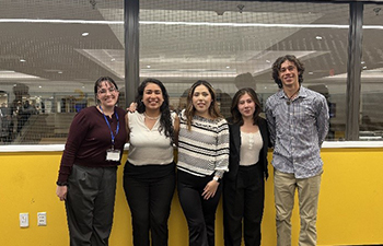
Project Manager
Jocelyn Luevanos
American Society of Civil Engineers (ASCE)
Amount Requested
$5,000
Summary
The Northwestern Surveying team provides valuable fieldwork and design experience for future engineers, including a robust education in land surveying, site development, and industry standards for AutoCAD software use. This year’s funding can help provide necessary equipment for training and competing in the American Society of Civil Engineers Western Great Lakes Student Symposium Surveying and Topographic Mapping Challenge. The competition consists of both a Topographic Mapping project requiring submission of a final map, site development plan, and presentation, and a Field task portion that includes on-site measurements and distance, depth, and elevation calculations. This challenge is co-sponsored by the Utilities Engineering and Surveying Institute (UESI), providing valuable networking and project experience to students interested in fields such as water distribution, wastewater systems, power systems, grid design, site development, and field engineering.
Planned Activities/Investments
To prepare for this competition, students will split their time between map development and field surveying skills. Students will have weekly meetings throughout the school year. In the fall quarter, these meetings will introduce the basics of land surveying and map creation and usage. Meetings at the beginning of the quarter will focus on outdoor surveying practice for field task practice, while meetings towards the end of the quarter will focus on software training including the use of AutoCAD, Civil3D, and GIS. In winter quarter, meetings will focus on preparing final deliverables after the competition mapping project is released in early January, including the map, site development options and alternatives, and presentation. In spring quarter, students will begin final preparations for the competition and compete at the student symposium.
Impact
This project will provide in-demand software and field skills for team members and members of NUASCE. Students involved in this project will learn AutoCAD, Civil3D, GIS, leveling and total station usage. They will also be introduced to the various national, state, and local governing bodies that regulate standards for engineering drawings. They will learn the various laws and ordinances that govern land use in the Western Great Lakes region and have a thorough understanding of how the standing zoning laws, local ordinances, utility placements, and site topography determine the various economic uses for a site. They will also develop their technical communication skills through the presentation portion of the competition.
Deliverables
The major deliverables for the team include a topographic map, a presentation slide deck detailing their work for the year, a poster and poster presentation, and field notes and documents from the ASCE Western Great Lakes student symposium competition. This year, we intend to use Murphy grant funding to purchase equipment, including a leveling rod, tripod, and total station that will allow students to practice the field tasks year-round for several years to come, with minimal maintenance or updates required after the initial purchase.
Sustainability
Once we purchase the total station, leveling rod, level, and other equipment, it will not need to be purchased again for several years to come and can be maintained with minimal calibration that our industry advisor from Kara Company has arranged to provide to us at a discounted price.
Budget Overview
- Map Poster Printing: $50
- Total Station: $1700
- Leveling Rod: $60
- Level: $300
- Tripod: $100
- Surveying Notebooks: $50
- Hi-Vis Vests: $50
- Round-Trip Flights to Conference in North Dakota (5 members): $2250
- Conference Registration Fees (5 members): $750
Total Budget Amount: $5,000
Faculty Adviser/Department
Eric Garcia/Civil and Environmental Engineering